Soulor 2. 2eme essai
Published on 2/11/2024
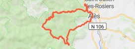
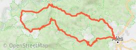
Distance
124 km
Duration
2h26
Difficulty
Beginner
•0 review
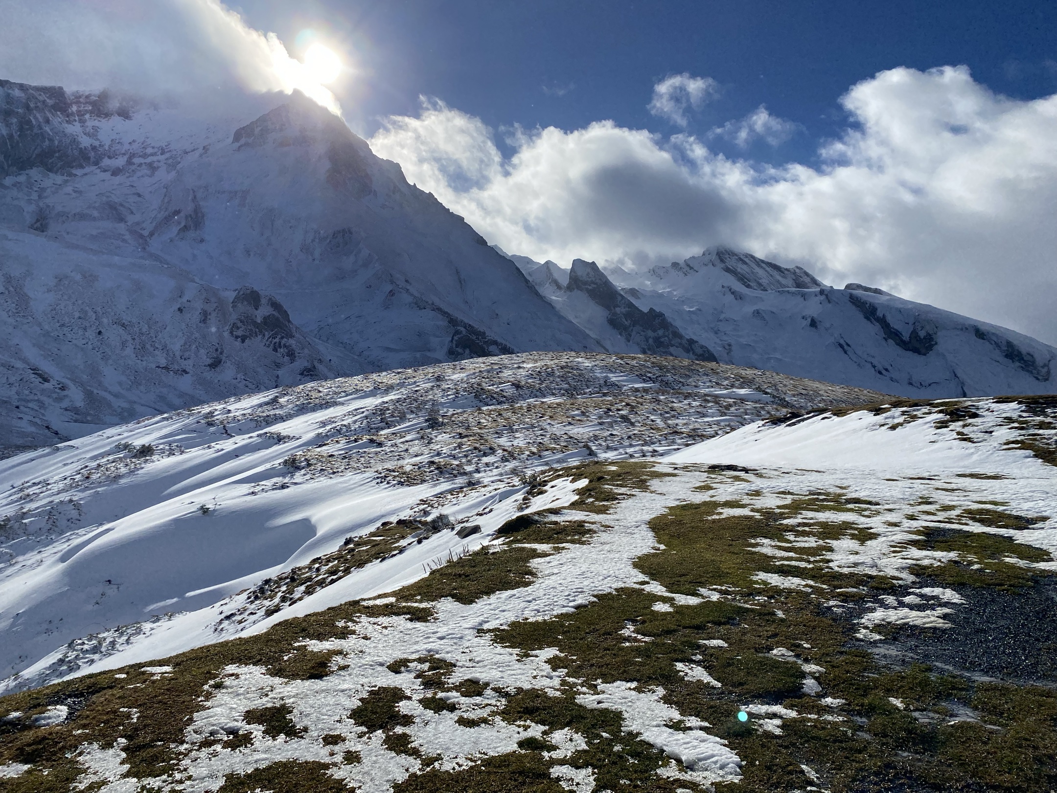
Le col du Soulor est un col de montagne routier des Pyrénées françaises à 1 471 mètres d'altitude dans le département français des Hautes-Pyrénées, en Occitanie. Il relie la vallée d'Arrens et la vallée de l'Ouzom. Il est emprunté par la route des cols
How does it work?
- Save this Roadbook for navigation
- Find it in the GPS of the app
- Let yourself be guided, it's free.