A la découverte des stations de ski 🎿
Published on 6/4/2022
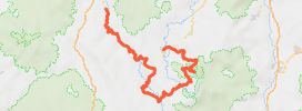
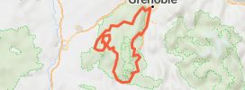
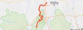
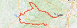
Distance
122 km
Duration
2h38
Difficulty
Beginner
•1 review
Route sympa pleines de virolos très agréables 👍
Tres jolis Paysages avec vue sur le mont Blanc...
En descendant le col des Aravis côté Flumet, dans la saison estivale.
Un photographe professionnel vous attend pour une photo souvenir dans un virage en épingle.... top pour finir une belle balade avec un souvenir.
How does it work?
- Save this Roadbook for navigation
- Find it in the GPS of the app
- Let yourself be guided, it's free.