Liberty RiderLiberty Rider
Moto GPS
Roadbooks
Accident SOSPartners

Prise en main de "Mamie" autour du CHAMP DU FEU (67) ...

Published on 5/29/2025
Distance
131 km
Duration
2h09
Difficulty
Intermediate
0 review
Navigate
Adapt

Petite balade dans et autour du Massif du Champ du Feu (67), histoire de faire connaissance avec "Mamie".
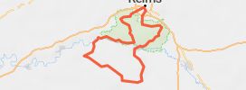
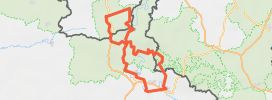
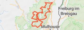
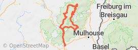
SCHIRMECK / SAINT-BLAISE / COL DE STEIGE / VILLÉ / COL D'URBEIS / COL DU CLIMONT / COL DE LA CHARBONNIÈRE / CHAMP DU FEU / MONT STE. ODILE / ST. NABOR / BARR / OBERNAI / URMATT

How does it work?
  1. Save this Roadbook for navigation
  2. Find it in the GPS of the app
  3. Let yourself be guided, it's free.
Google PlayApp Store

Riders Reviews on this trip

Road surface
Scenery
Curves
Points of interest

Pictures of the motorcycle ride

Prise en main de "Mamie" autour du CHAMP DU FEU (67) ... 1Prise en main de "Mamie" autour du CHAMP DU FEU (67) ... 2Prise en main de "Mamie" autour du CHAMP DU FEU (67) ... 3Prise en main de "Mamie" autour du CHAMP DU FEU (67) ... 4

Your review

Global rating

0 comment

All motorcycle trips Grand Est
Liberty Rider • All rights reserved • 2025