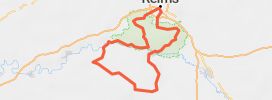
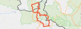
Col et route de montagne 🏞️👀🇵🇱
Published on 5/22/2024
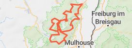
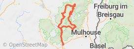
Distance
109 km
Duration
1h49
Difficulty
Beginner
•0 review
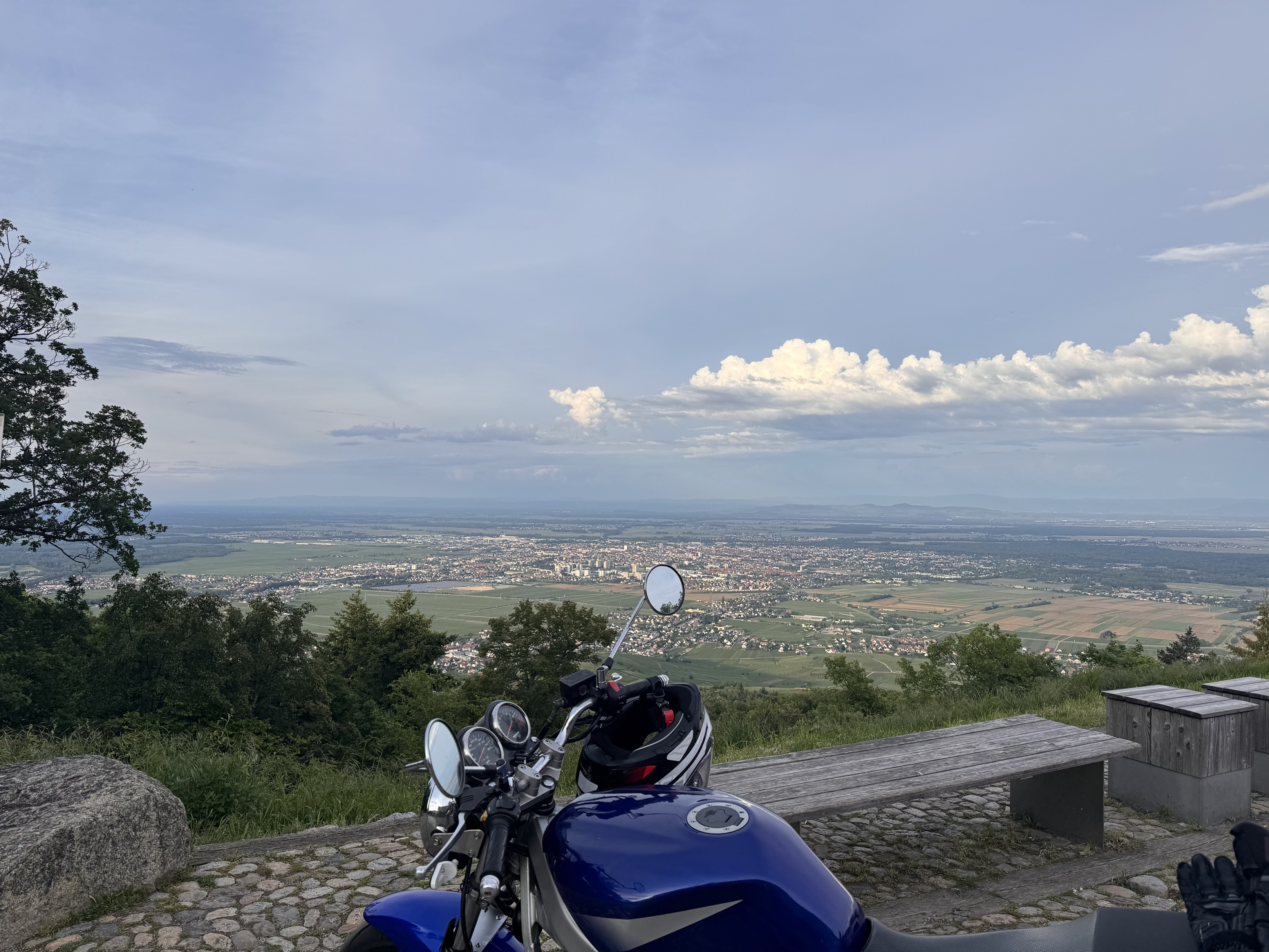
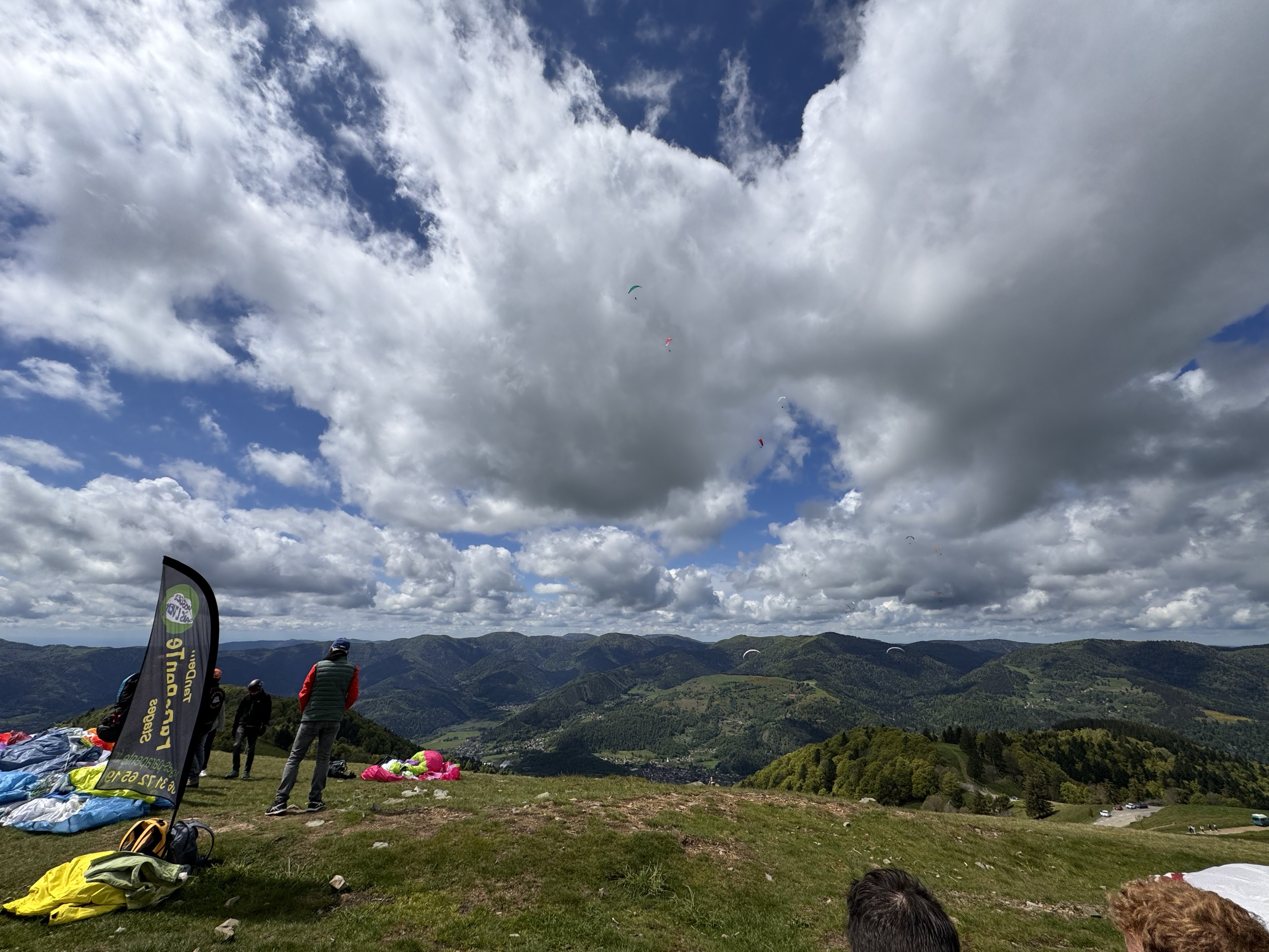
De belles routes et de beaux paysages.
Route accessible à tout niveau.
Le col de la schlucht a été refait. La route des crêtes offre un magnifique vu sur la vallée de Kruth.
Possibilité de s’arrêter boire un coup au Markstein. Le circuit s’arrête sur Guebwiller.
How does it work?
- Save this Roadbook for navigation
- Find it in the GPS of the app
- Let yourself be guided, it's free.