Liberty RiderLiberty Rider
Moto GPS
Roadbooks
Accident SOSPartners

Aix cols de Savoie et haute Savoie

Published on 7/27/2022
Distance
349 km
Duration
6h41
Difficulty
Intermediate
0 review
Navigate
Adapt

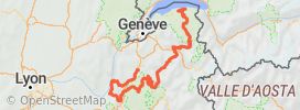
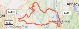
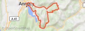
Aix les Bains, massif des Bauges, col du Frêne, direction Les lacets de Montvernier, col du Chaussy, suivi de la tarentaise, avec le col de la Madeleine, puis Bourg St Maurice, cormet de Roseland, Beaufort, col des Saisies, col des aravis, Annecy, route du Semnoz, Pont de l’Abime et Aix.

How does it work?
  1. Save this Roadbook for navigation
  2. Find it in the GPS of the app
  3. download_advert_step3
Google PlayApp Store

Riders Reviews on this trip

Road surface
Scenery
Curves
Points of interest

Pictures of the motorcycle ride

Your review

Global rating

0 comment

All motorcycle trips Grenoble
Liberty Rider • All rights reserved • 2024